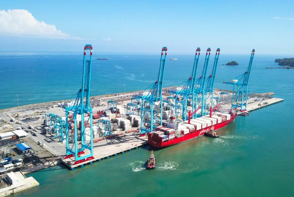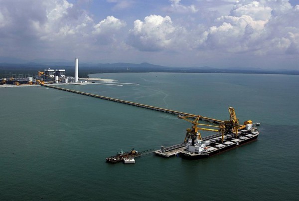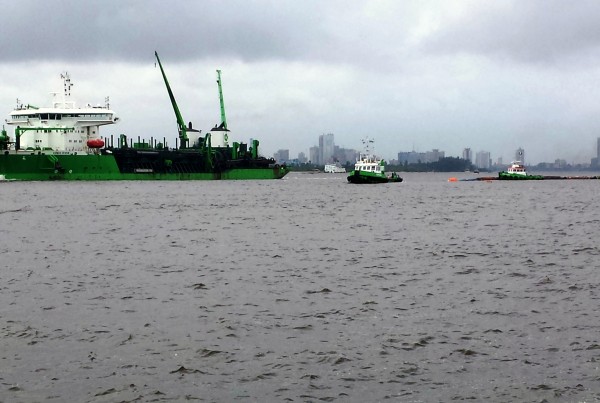
Our world’s population is growing and the demand for trade and transport via water is growing along. This requires development of existing and new riverine and sea ports. Despite the maritime sector is growing in a relatively constant manner, the dynamic economy and the global energy transition urge for a flexible approach to port master planning, as type and magnitude of transport demand can change fast.
Sustainability also plays an important role in Port Master Planning; mainly because bulk transport via water is the most efficient transport mode in terms of energy usage, and secondly because sustainability aspects will play an increasingly important role in the design and planning of ports (from a structure-lifespan, energy and environmental perspective).
Approach
A Port Master Plan integrates the planning and organisation of the physical infrastructure, operations, management and services of a port. CDR International has a focus on the physical aspects of a port, as these aspects are the least flexible to adjust and adapt once they have been implemented.
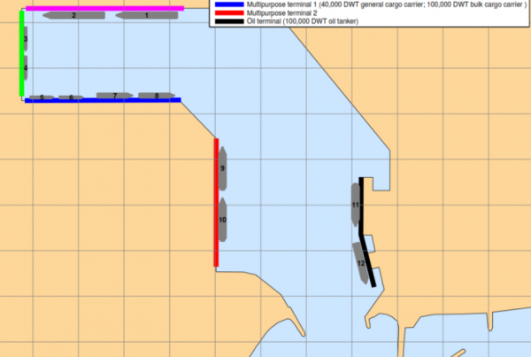
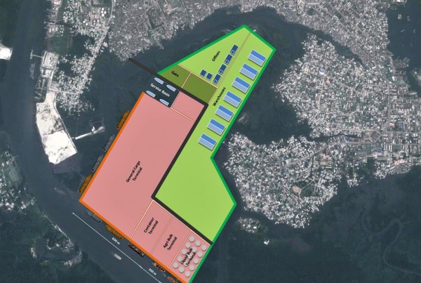
The spatial configuration of the port elements is key in that regard. A suitable development of the port through stages is considered for possible future demands in accordance with local and global economic scenarios.
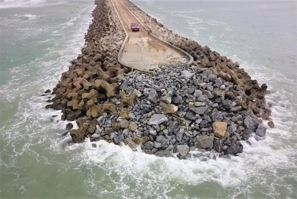
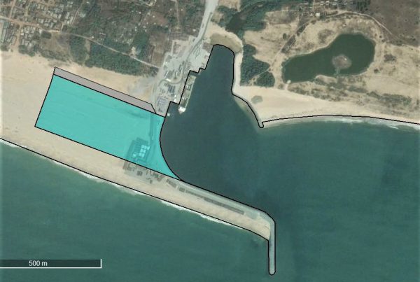
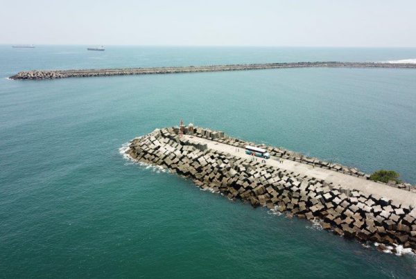
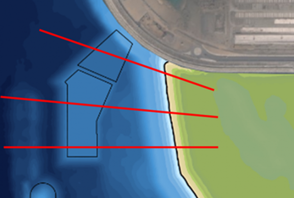
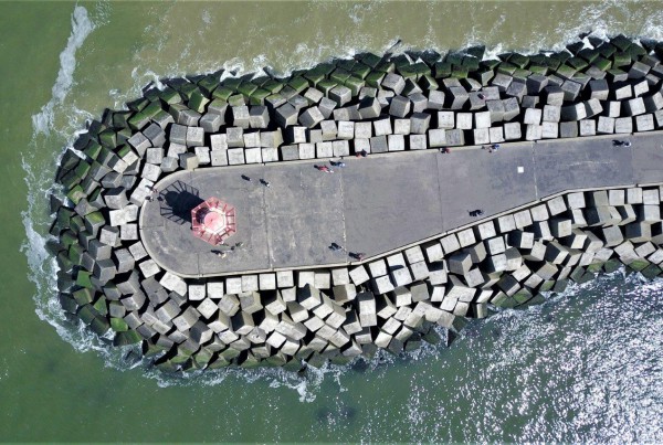
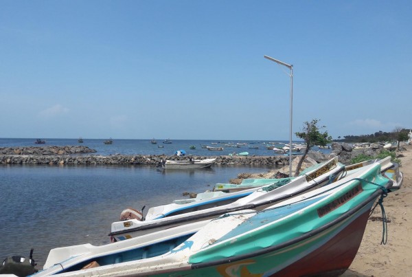
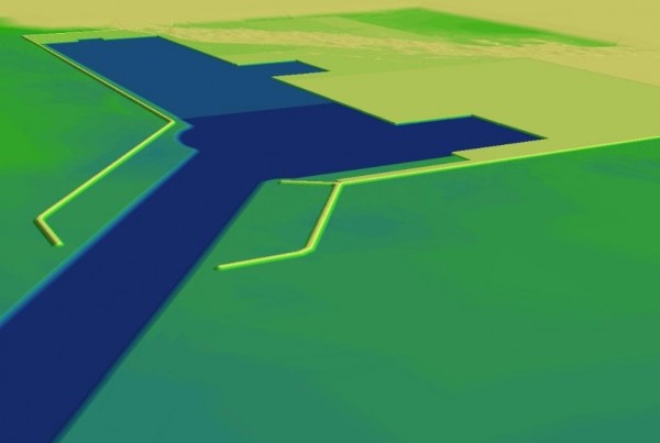
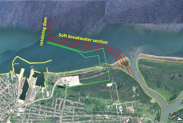
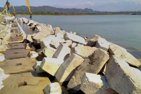
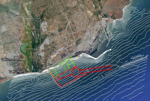
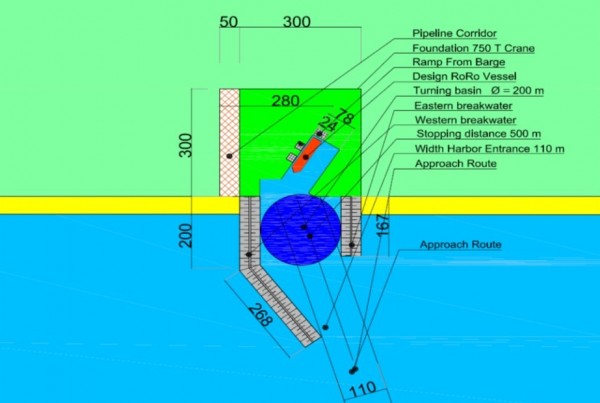
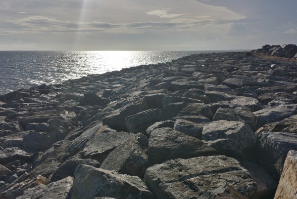
The layout scheme of a port breakwater and access channel is an important balance between dredging costs, breakwater construction costs, nautical aspects and wave disturbance inside the port.
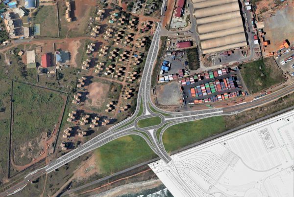
All relevant spatial elements of a port plan are being incorporated into one spatial database (GIS-based). This database contains all descriptive, prescriptive and quantitative information of the port elements (if required on different scale levels) and this database enables quick re-iterations of the design.
Services
CDR can provide the following services in the field of Port Master Planning:
- (Pre-)feasibility studies
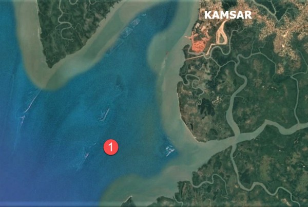
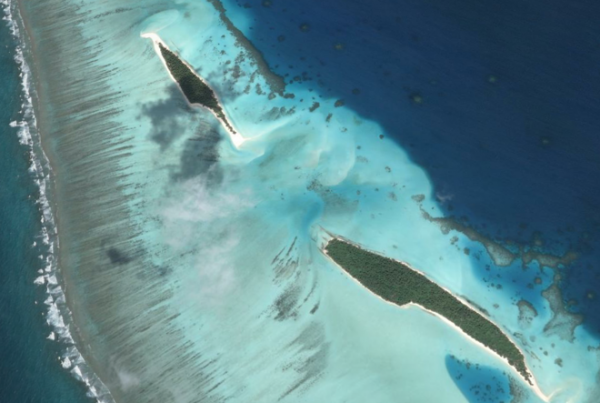
- GIS-based site allocation studies
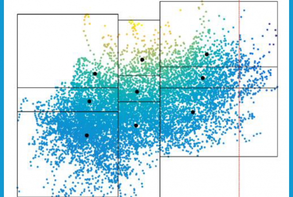
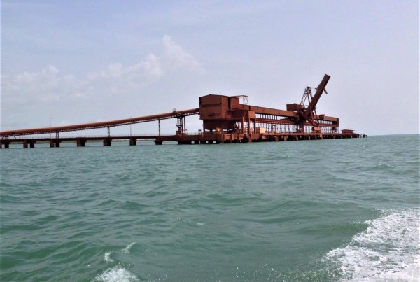
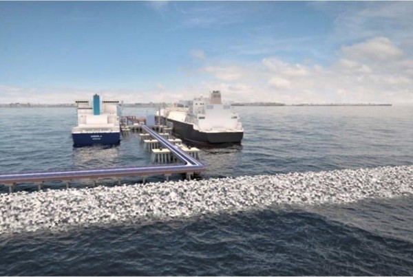
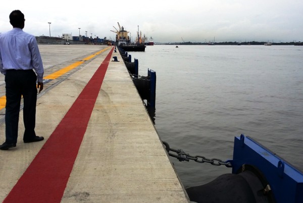
- Downtime analysis and determination of optimal port layout regarding economic and environmental aspects; breakwaters in combination with approach channel, (turning) basins, jetties and quays.
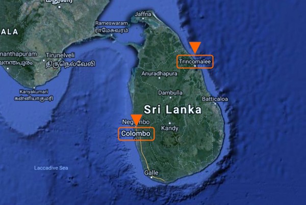
- Demand and supply studies
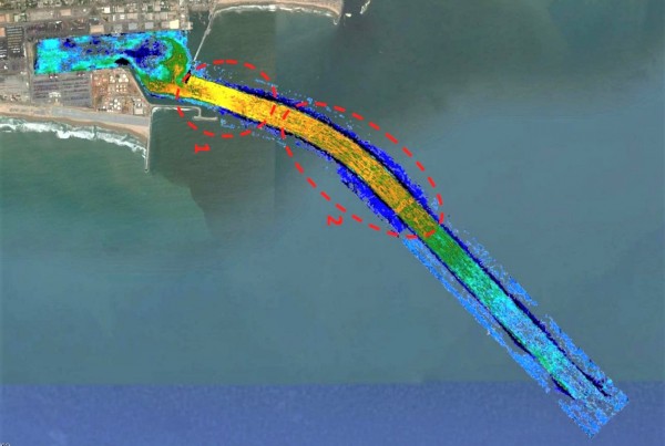
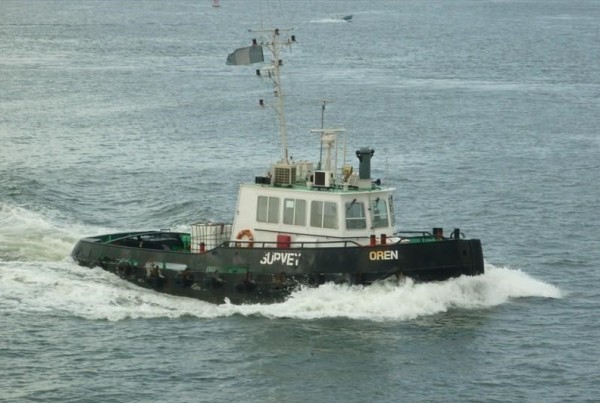
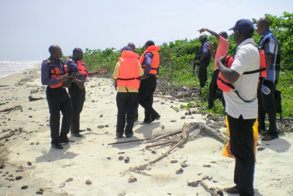
- Conducting topographic & bathymetric surveys & charting
- Considering transhipment options
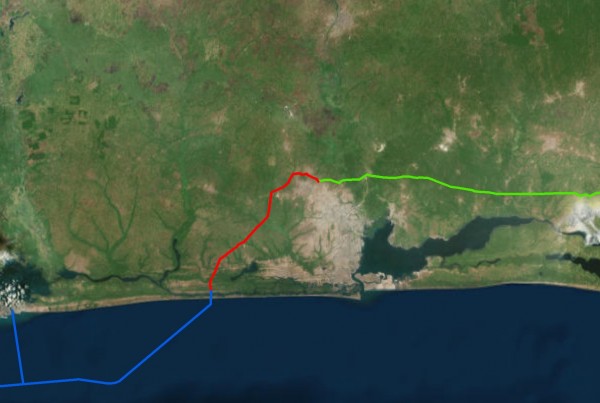
- Strengthening existing hinterland corridors and developing new corridors
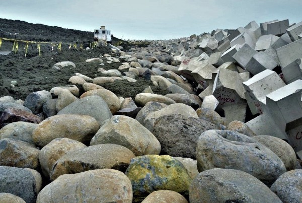
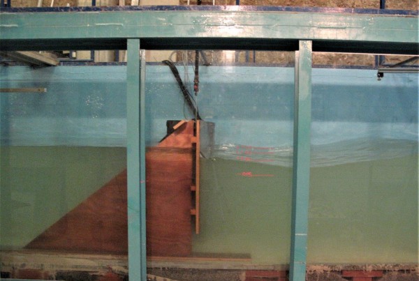
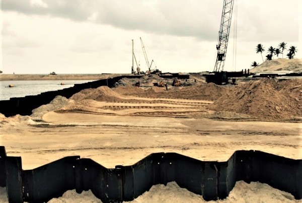
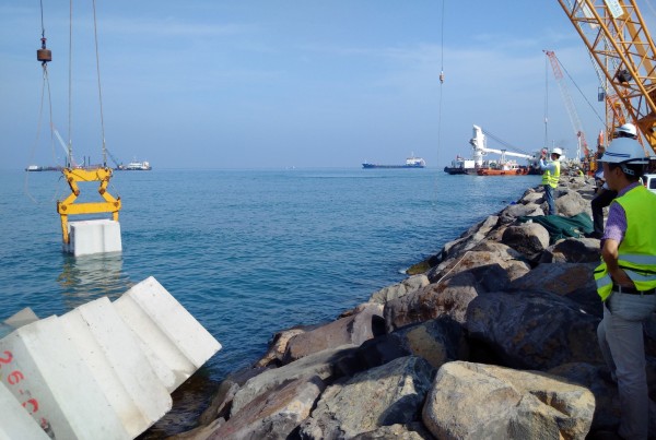
- Construction methodologies and building materials of breakwaters
- Navigational and nautical aspects for incoming and departing vessels
- Hydraulic stability of the structures armouring

