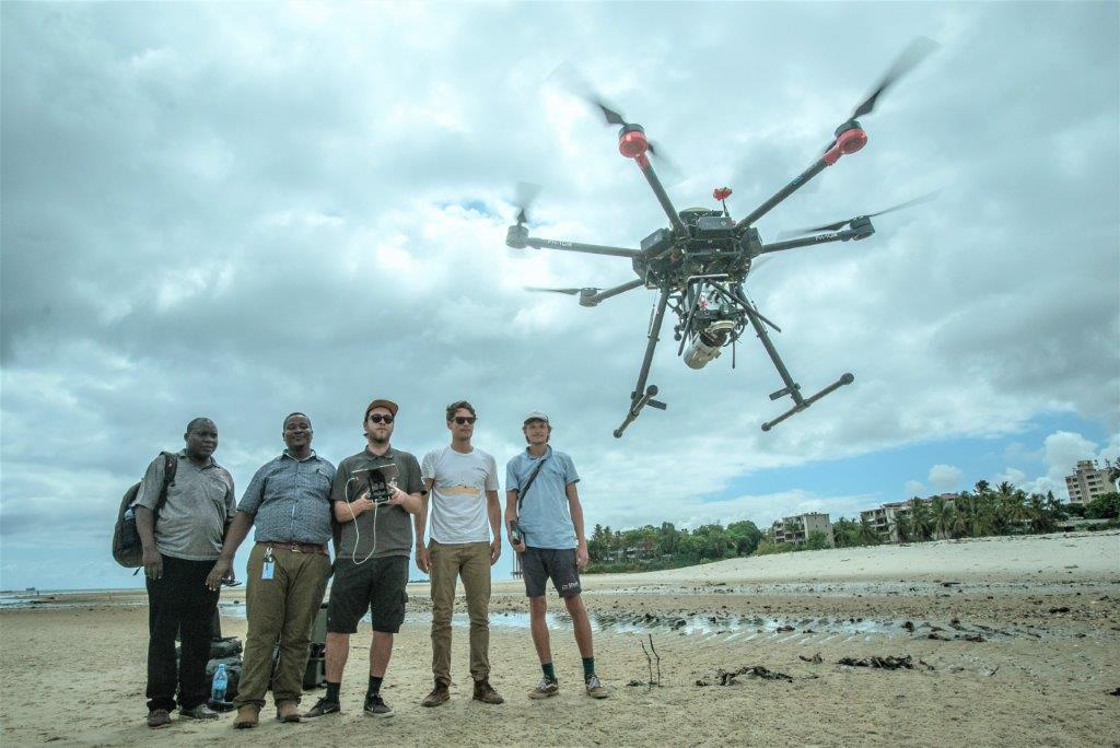
Photo: Courtesy of Shore Monitoring & Research
An integral survey campaign was undertaken. In order to achieve the 2 objectives, the following tasks have been executed:
- Setting out Ground Control Points and Benchmarks
- RTK-GNSS River bathymetry profile measurements
- UAV (Drone) LiDAR Survey and UAV (Drone) Photogrammetry Survey
- Water level and salinity measurements
The results of the 2 UAV topographic survey methods have been compared through advanced GIS/ spatial analysis. Vegetation types have been mapped and metrics have been assessed for the respective vegetation classes accordingly.
