CDR and partners carried out the following tasks: Charrette facilitation, Presentations, GIS, spatial analysis, mapping, bridging spatial, technical and social issues and integrate them into integral plan, river engineering, hydraulic modelling support, set-up of spatial design alternatives, conceptual design of hydraulic mitigation measures.
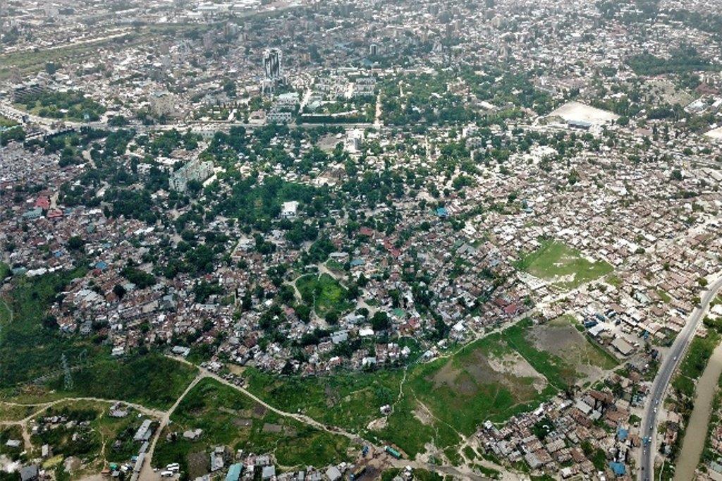
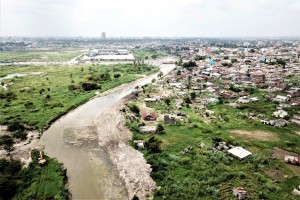
Site visit & drone images Dar es Salaam


